Nau mai haere ki Aotearoa. Te Ika-a-Māui. Middle Earth. Godzone. The Shaky islands. However you want to describe it, this is New
Zealand. I have been waiting for truly awesome scenery coverage
ever since I first visited the Land of the Long White Cloud back
in 2002. There have been a number of sceneries covering the area
over the years, many of them very good, but they’ve either had a
small coverage area, or been limited to mesh, or landclass, vector
replacement, specific airfields etc. Now Orbx have come along with
an “everything” scenery that covers, well, everything. The
question is, is it everything I ever wanted?
Overview
Orbx’s coverage of New Zealand is split into two parts, named
after the two biggest islands, North and South. I reviewed the
South Island scenery earlier in 2012, and this review can be
considered in conjunction with that: Much that I said then also
applies to this scenery (I could repeat it here, as I did with the
opening paragraph, but you can click a link as easily as I can
copy and paste…)
From the publisher’s blurb:
● 113,750 square km of FTX scenery
● Brand new beautiful ground textures
● New trees made from local photographs
● Roads, rivers, coastlines, lakes, railways
● 10m Holgermesh for crisp definition
● All major and many minor airports upgraded
● Custom NZ airport objects and markings
● Photoreal mountains, volcanoes, mudflats
● Numerous polygon landclass areas
● Hand-crafted landclass for entire region
● Joins FTX Australia for trans-Tasman flights
● Hand placed super-accurate autogen
NZNI is available as a 3.16GB download for £26.61 ($43.15 US) from
the Flightsim Store
http://www.flightsimstore.com
![]() , or as a boxed
DVD from local resellers (reseller prices may vary - £44.95 inc.
VAT from http://www.flightstore.co.uk
, or as a boxed
DVD from local resellers (reseller prices may vary - £44.95 inc.
VAT from http://www.flightstore.co.uk
![]() . This review covers the
download version.
. This review covers the
download version.
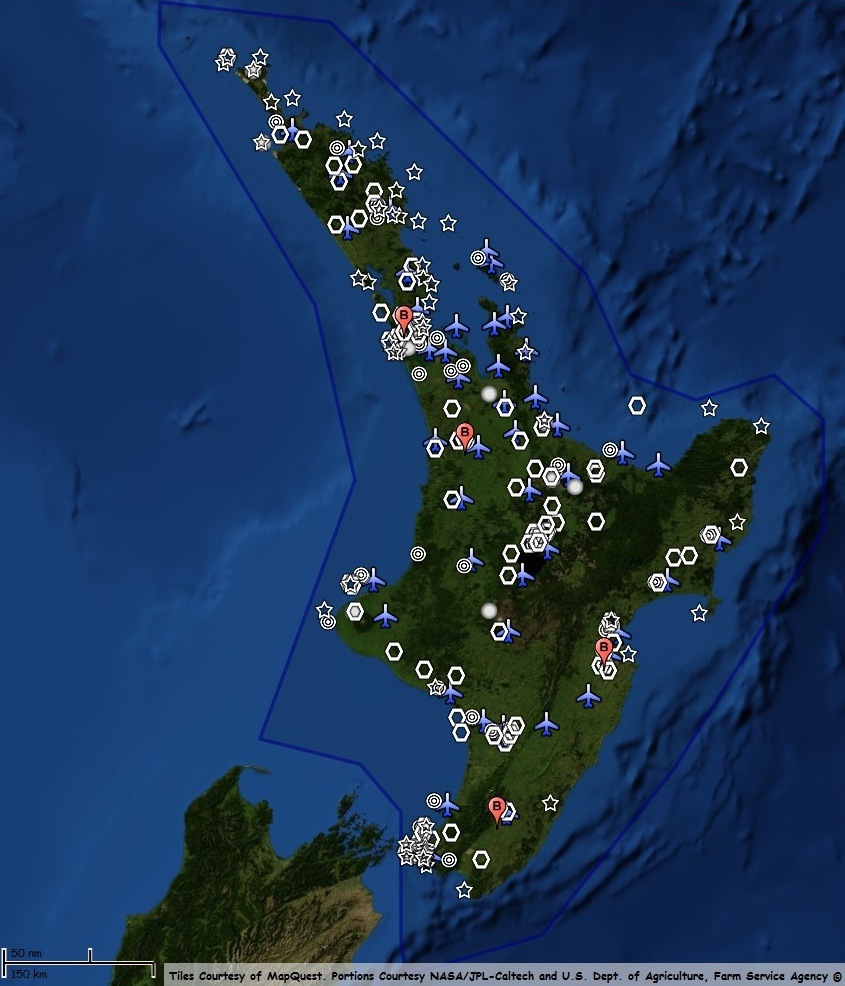
Coverage
The coverage area is shown in the diagram below (KMZ file courtesy
of Orbx, and included with the package)
 |
Flights
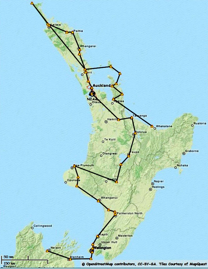
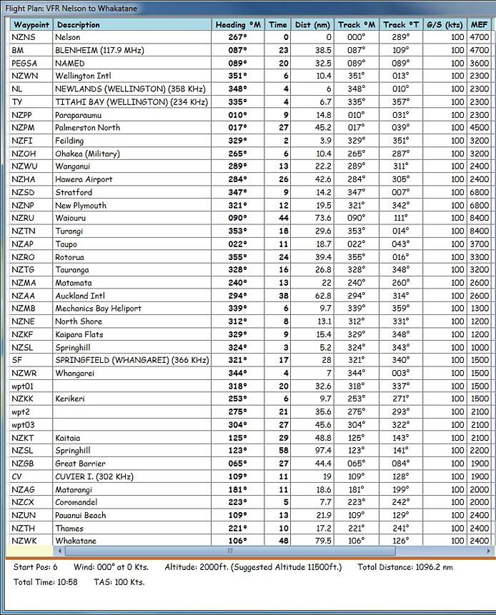
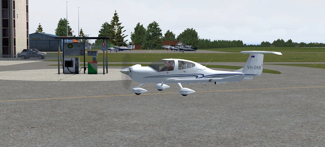
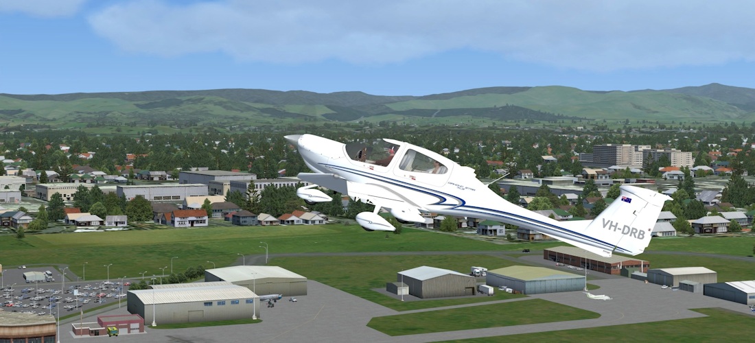
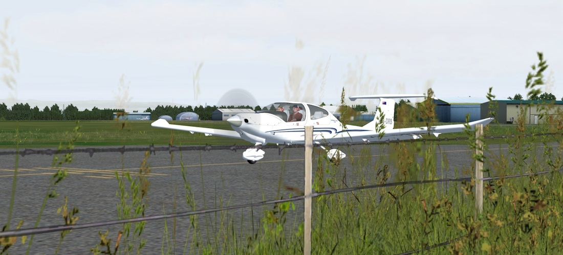
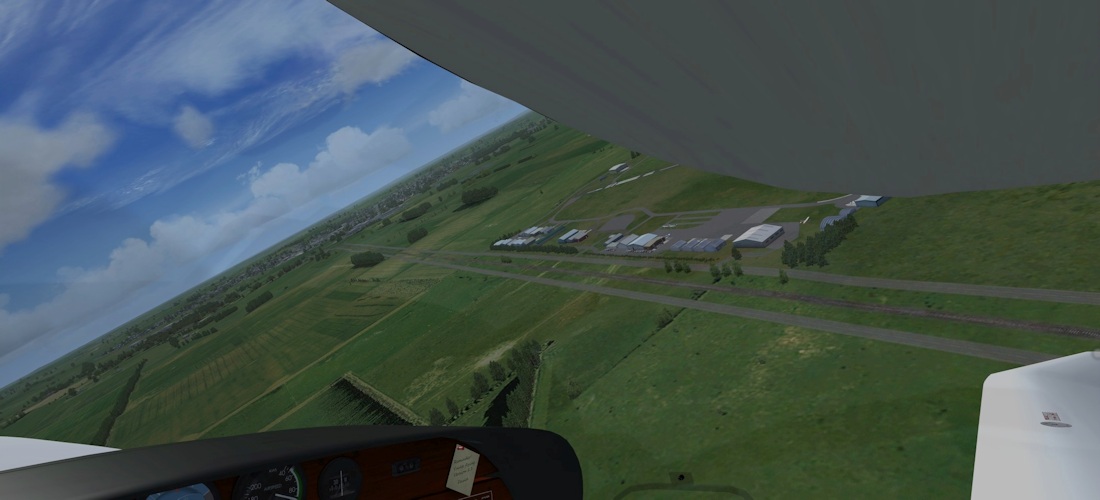
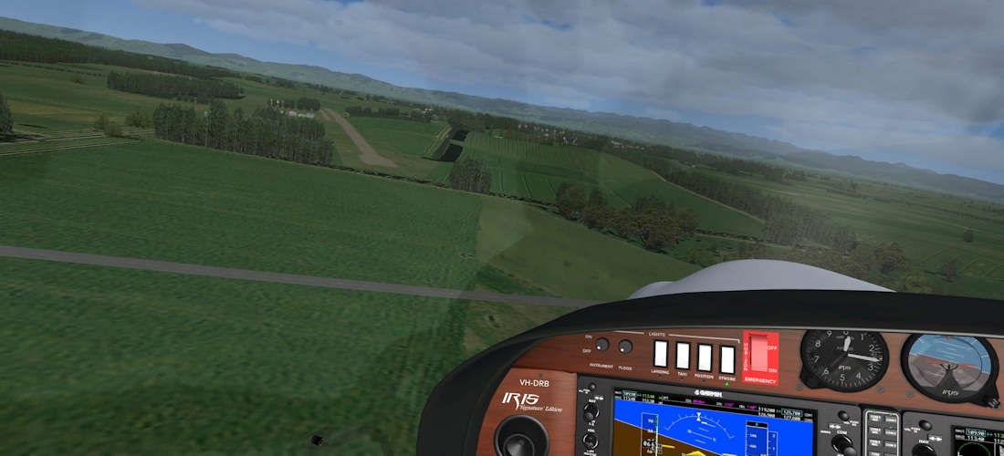
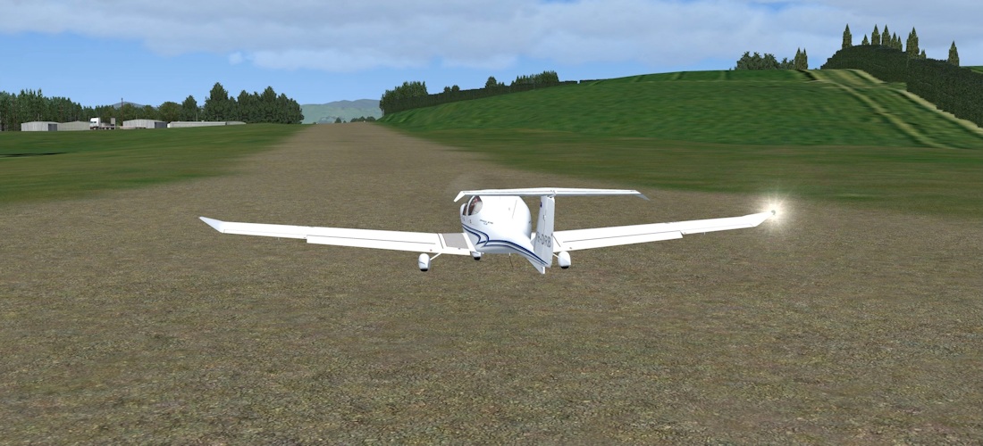
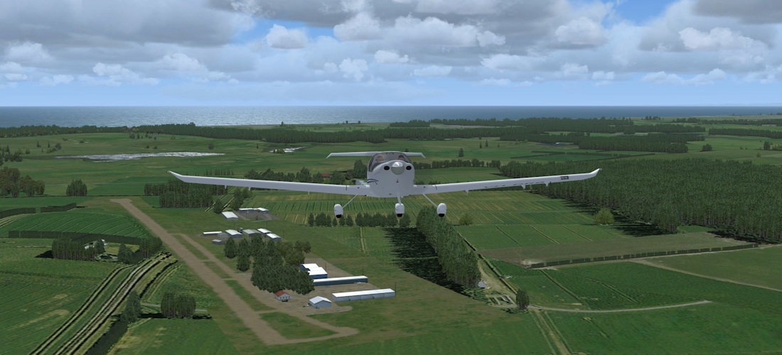
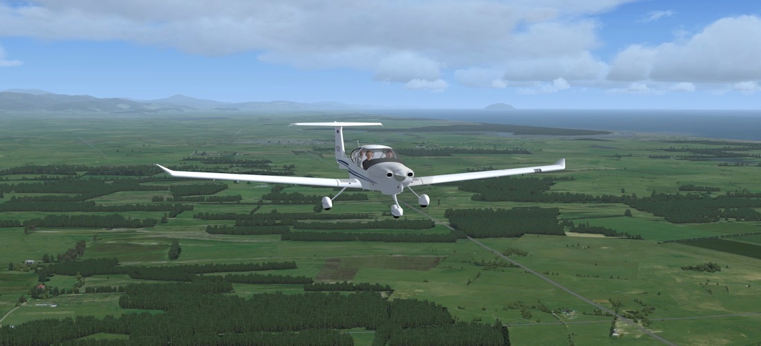
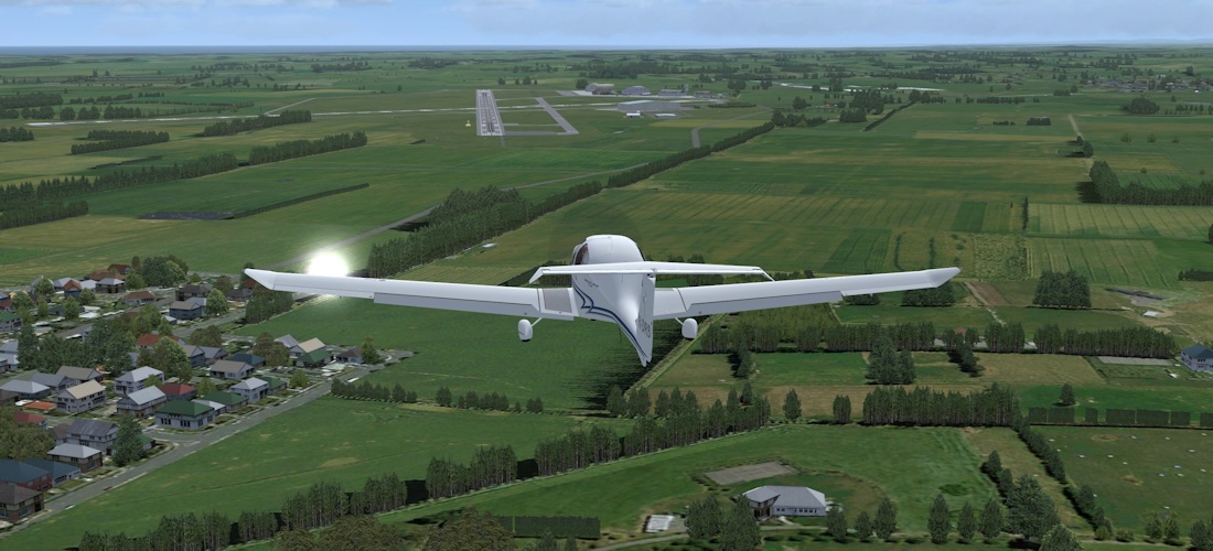
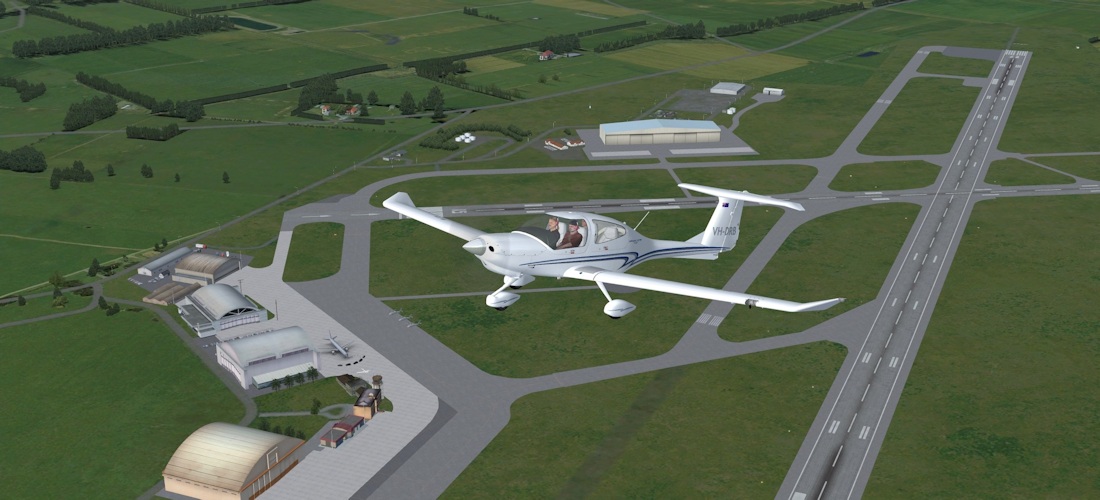
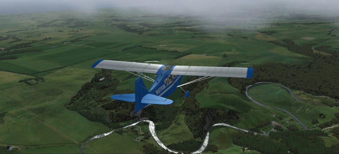
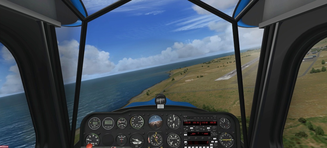
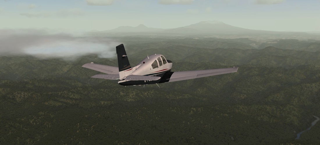
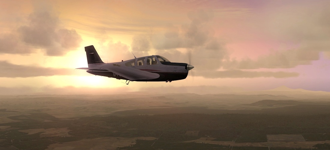
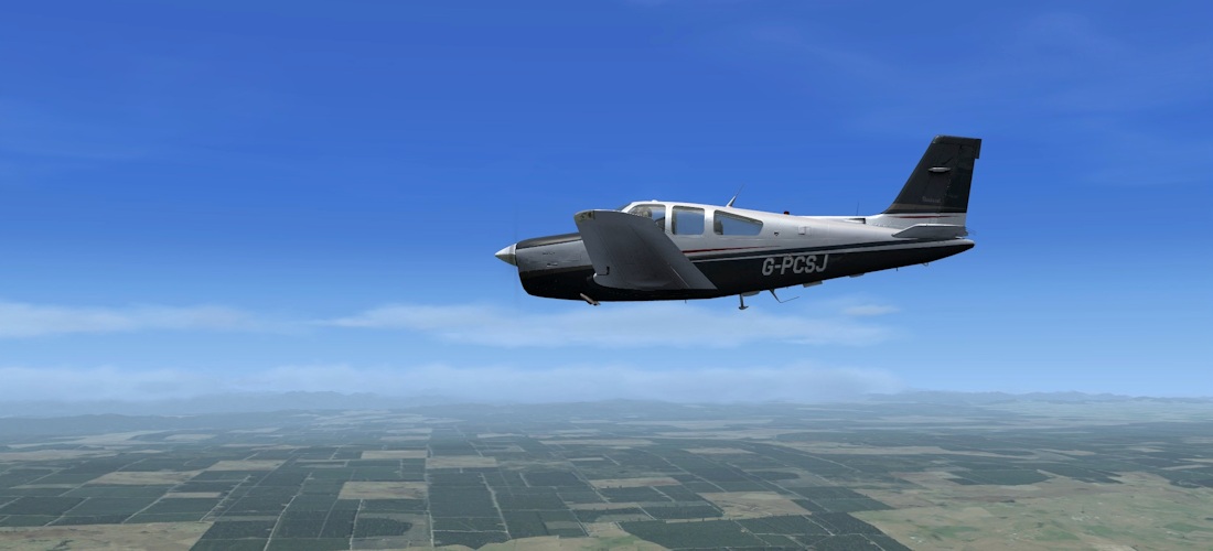
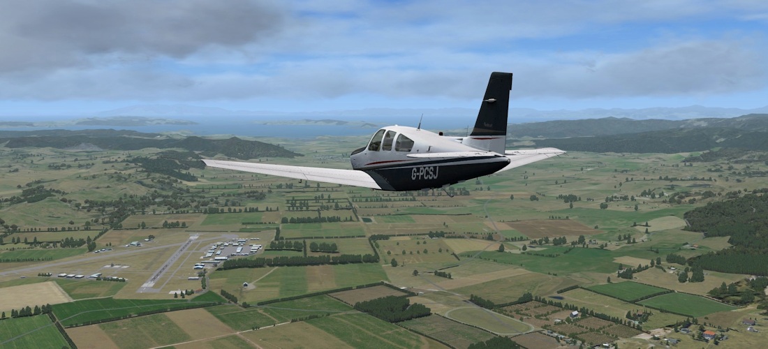
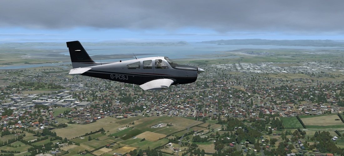
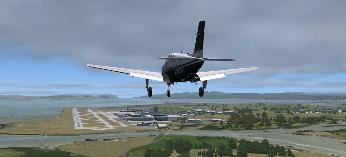
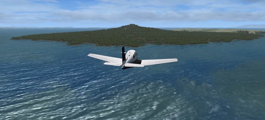
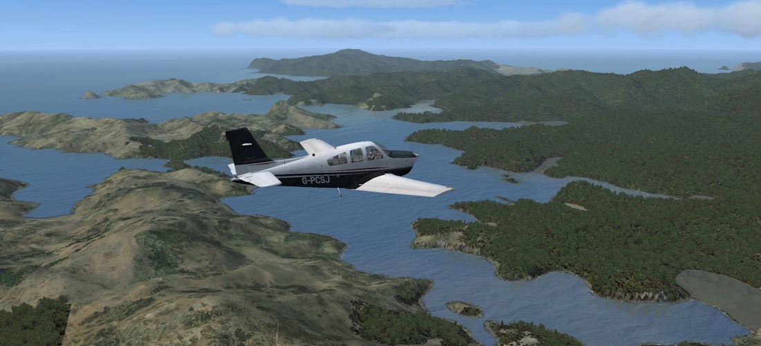
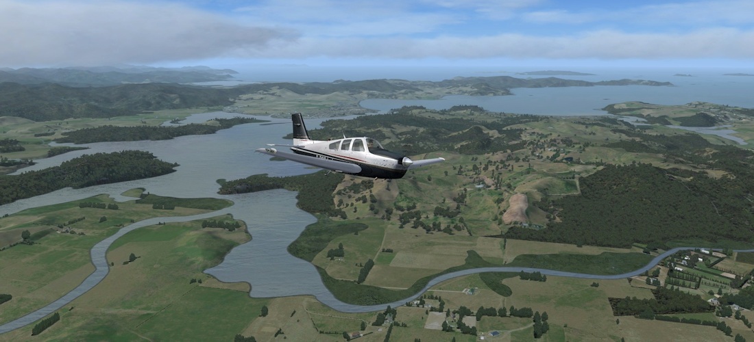
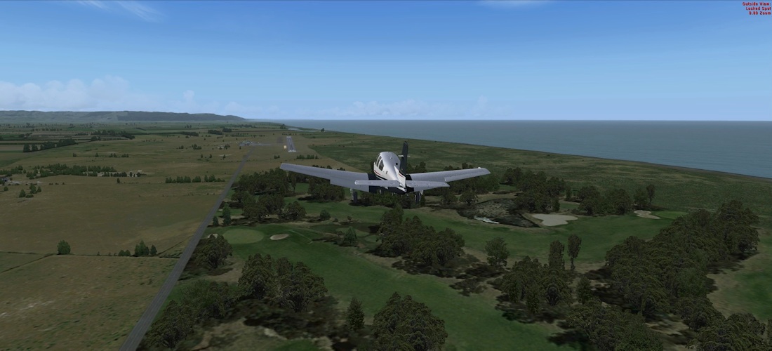
In the process of evaluating this addon, I made a series of ten flights, starting from Nelson in the South Island and making my way right up to the northernmost tip at Cape Reinga, before heading back down as far as Whakatane. The plans for these flights are available for download, and you are most welcome to follow in my footsteps should you wish. The scenery, I believe, can speak for itself.
 |
 |
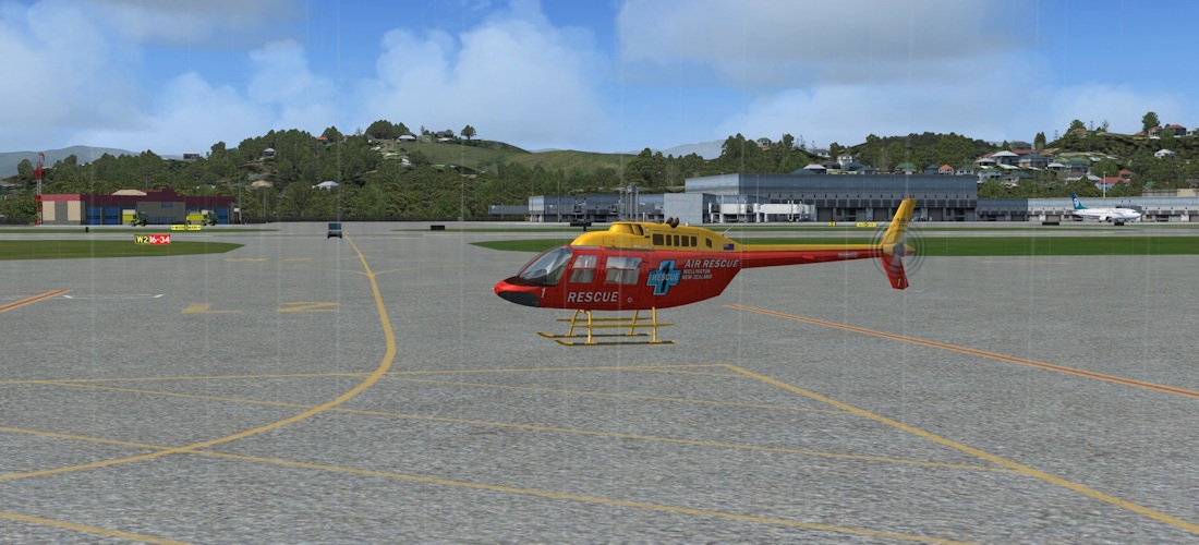
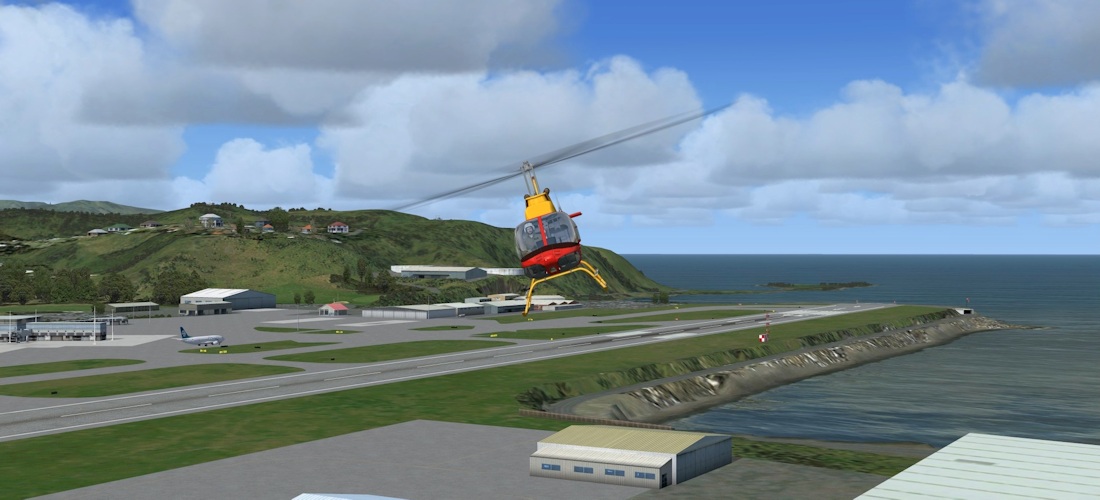
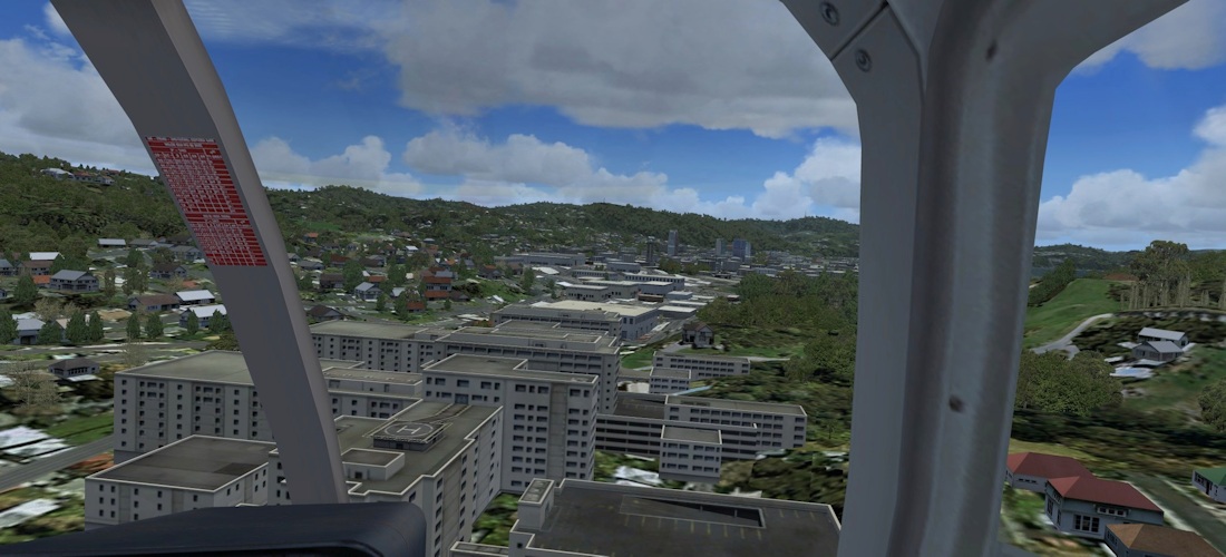
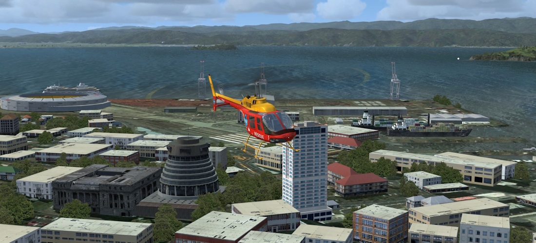
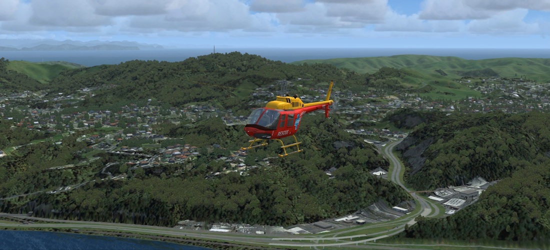
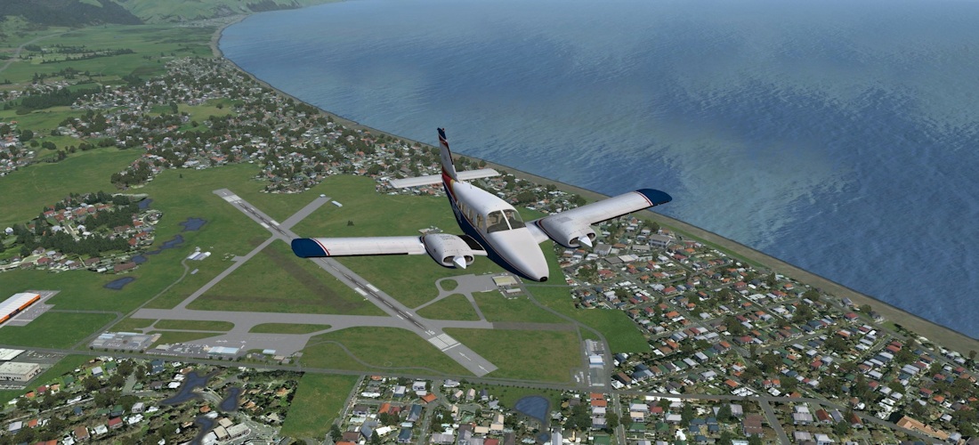
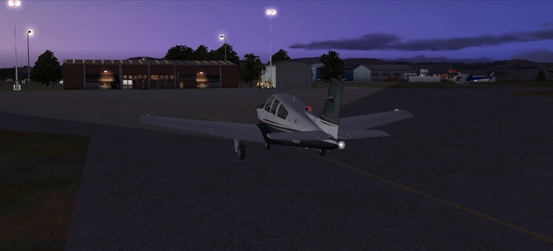
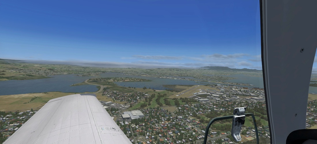
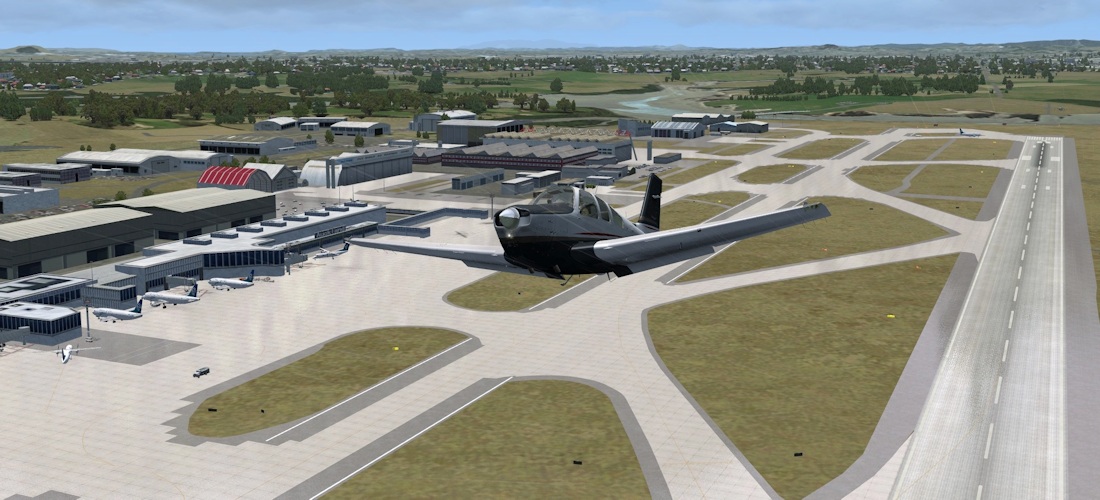
Wellington
We start with a helicopter tour around the city and out across the suburbs. I lived in Windy Wellington for a while, so it’s a city I’m quite familiar with. Wellington International airport has been greatly enhanced over the default. The airport straddles an isthmus (rather like Gibraltar, or Rothera in Antarctica) and is elevated above the surrounding terrain. The main access road to the airport and the Miramar Peninsula is literally just off the end of the runway. The Windy Wellington sign is clearly visible overlooking the airport.
 |
 |
 |
 |
As we leave the airport environment, we see the only really noticeable error – some backwards textures on the outlet store buildings.
 |
 |
 |
|
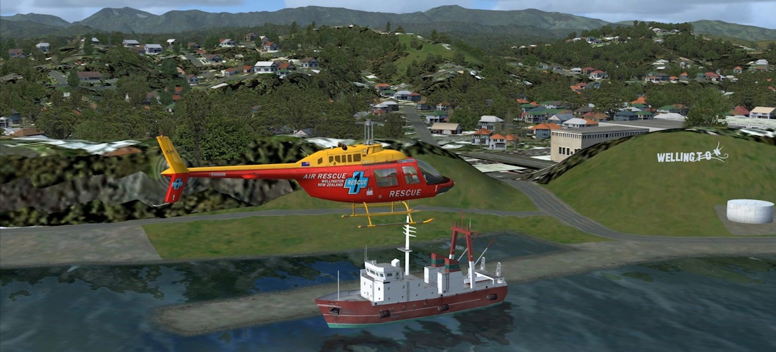
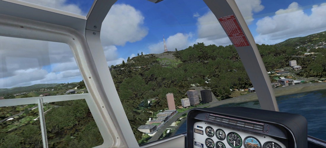
Many key buildings in the CBD have been modelled – the Beehive and parliament buildings, Westpac Stadium, Te Papa and so on. There is a landable helipad on the roof of he hospital, and photo inserts give plenty of detail in the port and docks.
 |
 |
 |
|
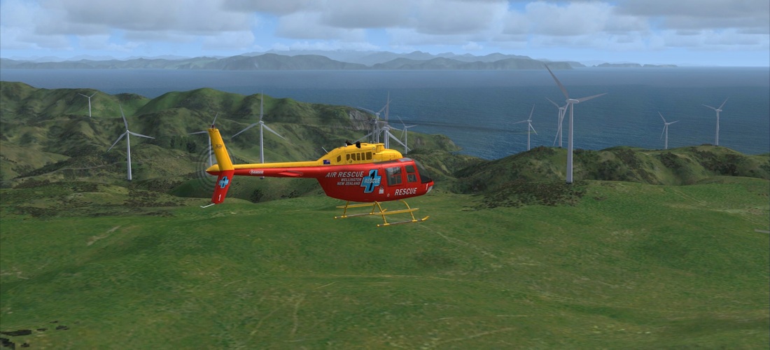
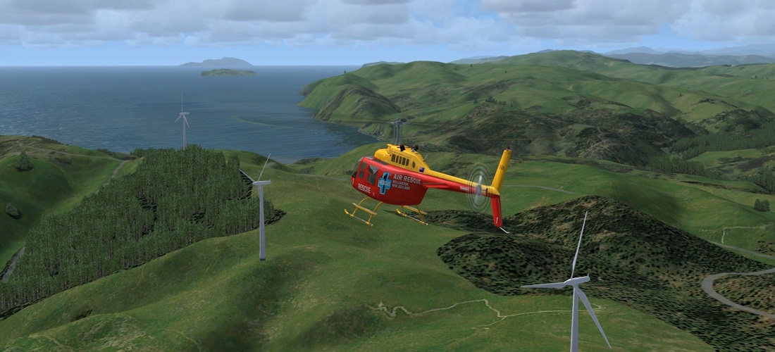
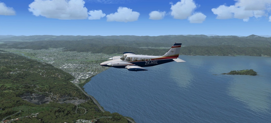
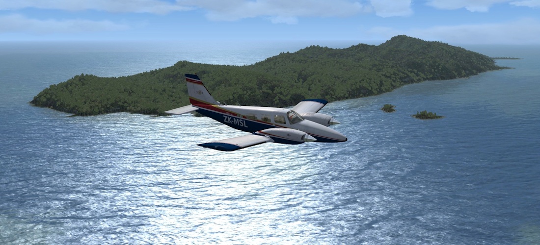
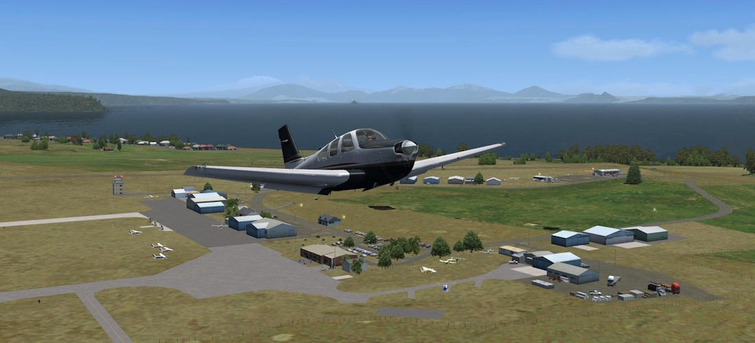
Project Westwind, a massive Wind turbine farm is at Makara, just to the West of the city, and affords views across the Cook Strait to the South Island and also up the coast to Kapiti.
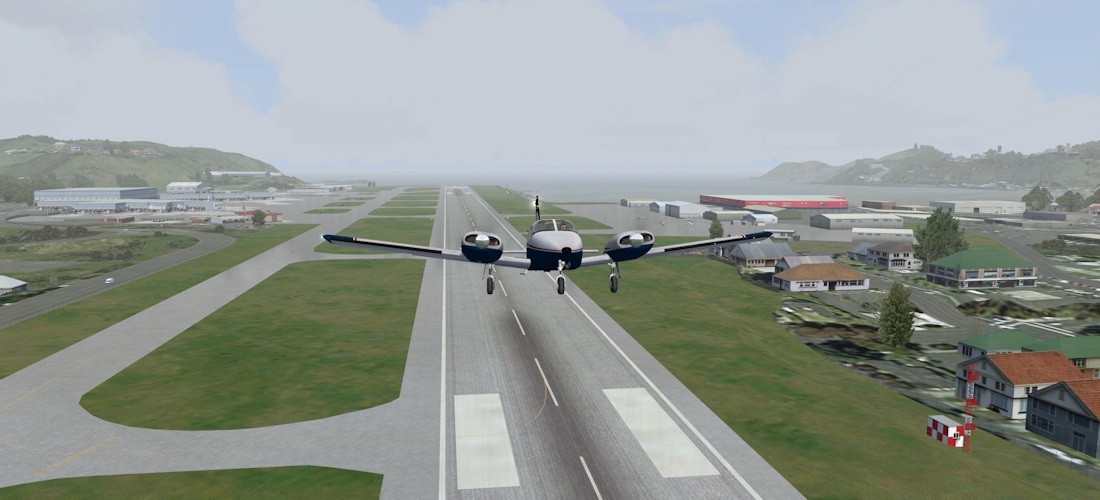
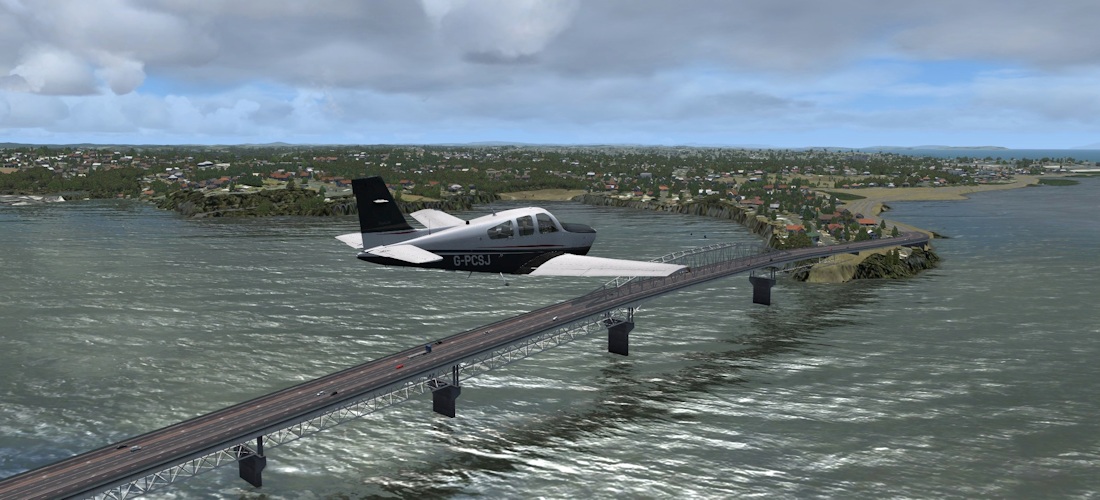
Wellington to Paraparaumu (NZWN – NZPP)
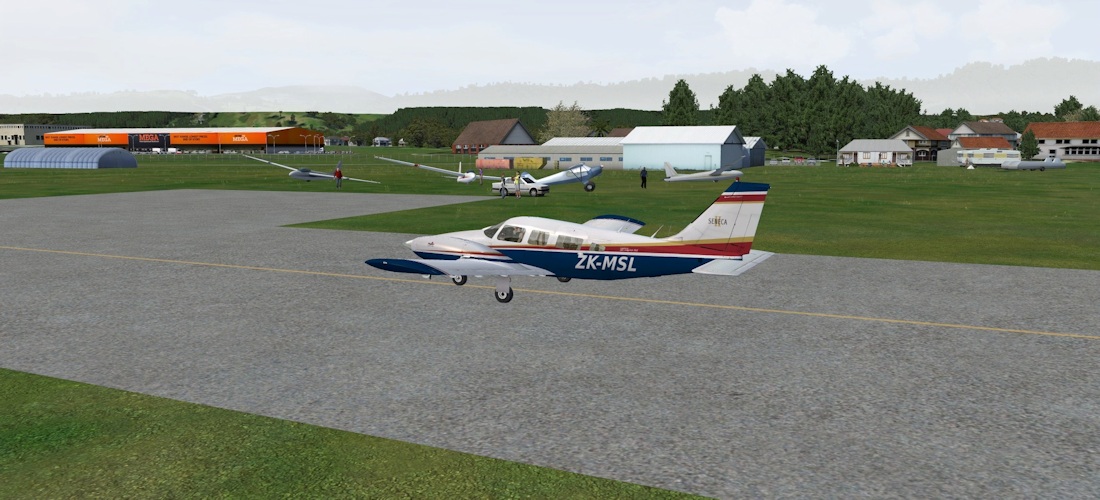
So now we’ll jump into our locally rented Seneca for a short flight up the coast to Paraparaumu (or simply Paraparam for short). We depart from Runway 34, which takes us straight out across Wellington Harbour. On our right, Somes Island and the Hutt valley. The quarry you can see in pic 2 hosted the battle for Helm’s Deep in LOTR.
 |
 |
 |
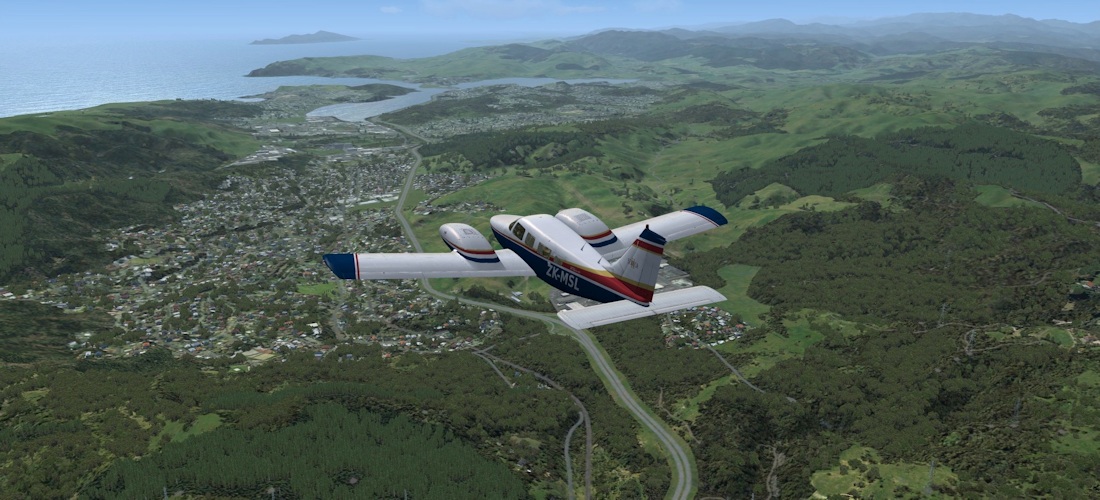 |
Following State Highway 1, we quickly reach Porirura and the Kapiti Coast. A quick look at Kapiti Island (a nature reserve) before landing.
 |
 |
 |
 |
Paraparaumu to Palmerston North (NZPP – NZPM)
I had intended to get all the way to Whanganui, but my rule of always flying with real weather bit me on the bum, and I had to divert into Palmy North…
 |
 |
 |
 |
 |
 |
Palmerston North to Wanganui (NZPM – NZWU)
Now the weather has improved, we can double back slightly upon ourselves and visit the airstrips at Fielding (ZNFI) and Foxton Beach (NZFP).
 |
 |
 |
 |
 |
 |
 |
 |
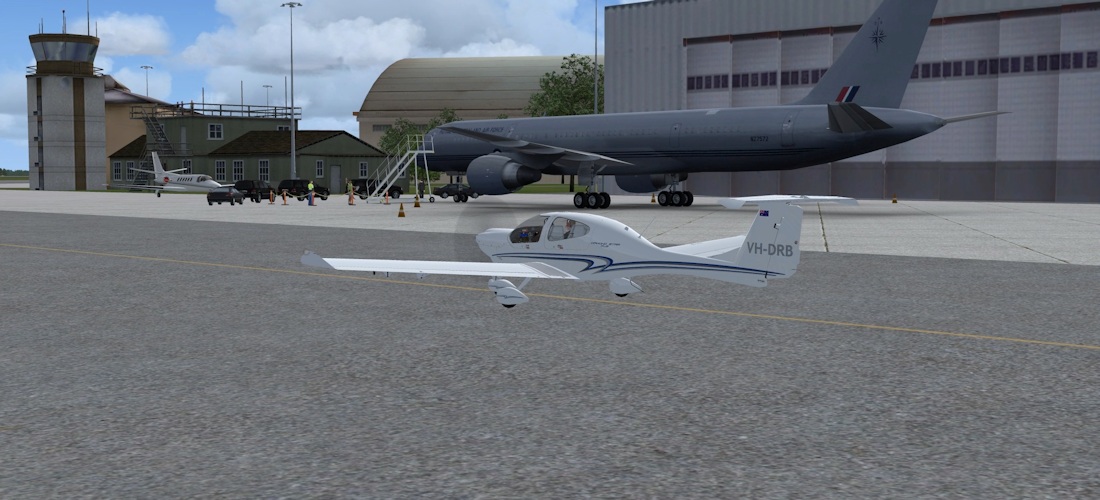
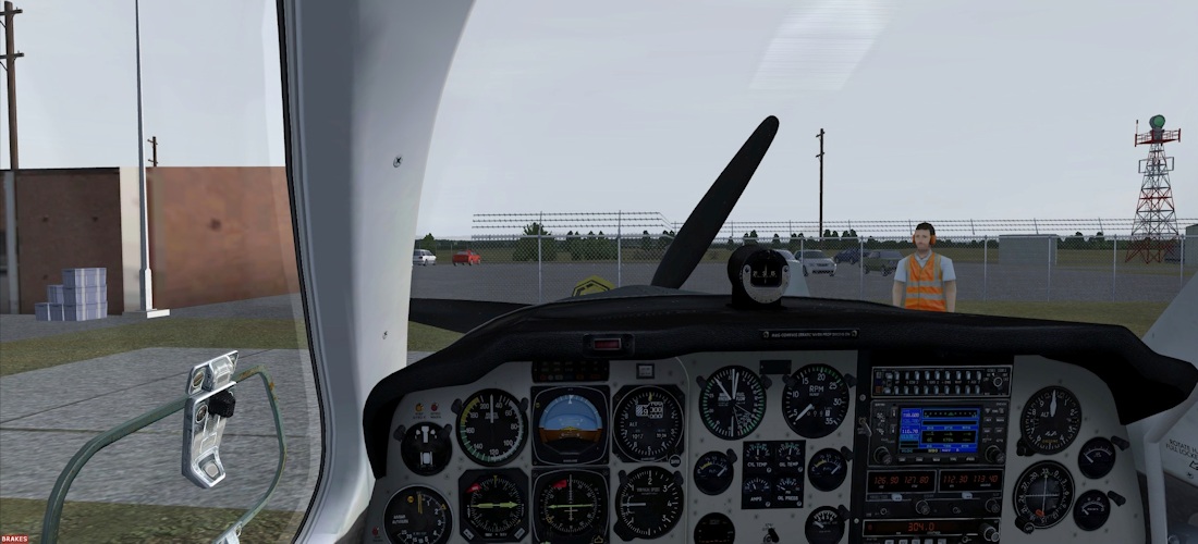
Ohakea is an RNZAF air base, and we find some static military aircraft and helicopters have been added to the main apron.
 |
 |
 |
 |
Finally we get to Whanganui, another airfield I have visited in real life.
 |
 |
Whanganui to New Plymouth (NZWU – NZNP)
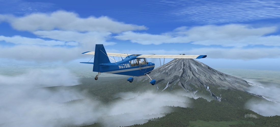
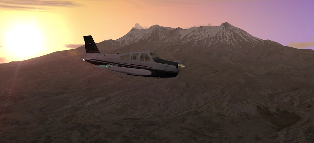
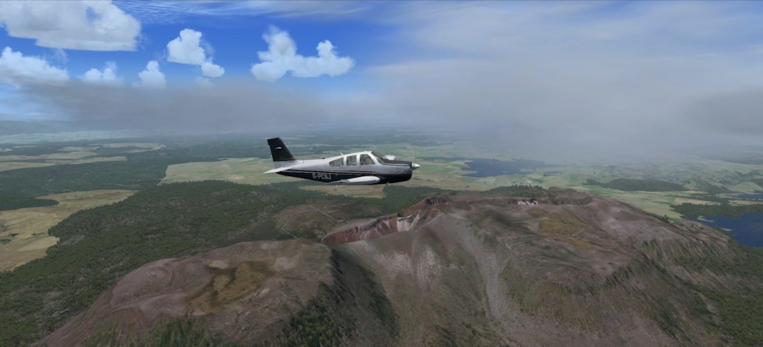
Another change of plane and we’re now heading North again to New Plymouth. On the way we pass a couple of little strips at Hawera and Stratford. But the big attraction on this flight is Mt Taranaki. This is an active volcalno (it last erupted in the 1850s, and is considered to be “overdue”) that’s remarkably similar in appearance to Mt Fuji in Japan, and has been used as such in Hollywood movies. Orbx have given it a full custom treatment and it looks most imposing.
 |
 |
 |
 |
 |
 |
 |
 |
New Plymouth to Taupo (NZNP – NZAP)
And now we come to the second major volcano on our trip – Ruapehu. This is the largest active volcano in New Zealand, and also the highest point in the North Island. The most recent eruption was in 2007. It featured as Mt Doom in the LOTR movies.
 |
 |
 |
 |
 |
 |
 |
 |
We rejoin SH1 as it winds through the Rangipo Desert at the base of the volcano. The Desert Road as it is known passes all three volcanoes on the plateau – Ruapehu, Tongariro and Ngauruhoe before reaching the shores of lake Taupo, itself the caldera of a volcano (its eruption of 181AD was the most violent eruption on the planet in the last 5000 years!)
Taupo to Rotorua (NZAP – NZRO)
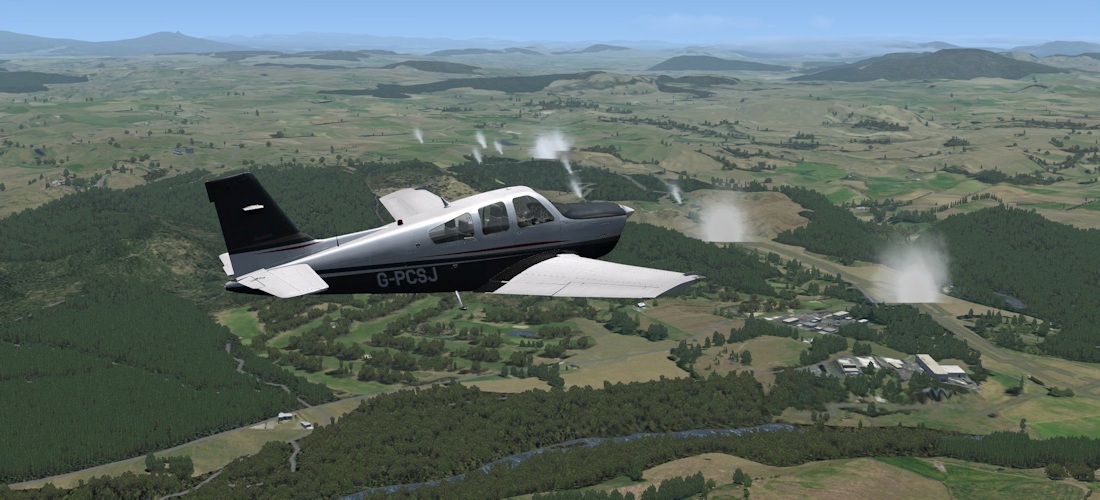
Leaving Taupo, on the shores of the largest lake in New Zealand, we enter the geothermal zone. There are several geothermal power complexes, and steam vents all over the place, reminding us that we are on the Pacific Ring of Fire.
 |
 |
 |
 |
Tarawera erupted in 1886, completely burying several villages in the process and leaving this massive fissure, which Orbx have recreated in photographic reality. There is a rough airstrip on the south side, at which you are welcome to attempt a landing.
 |
 |
 |
 |
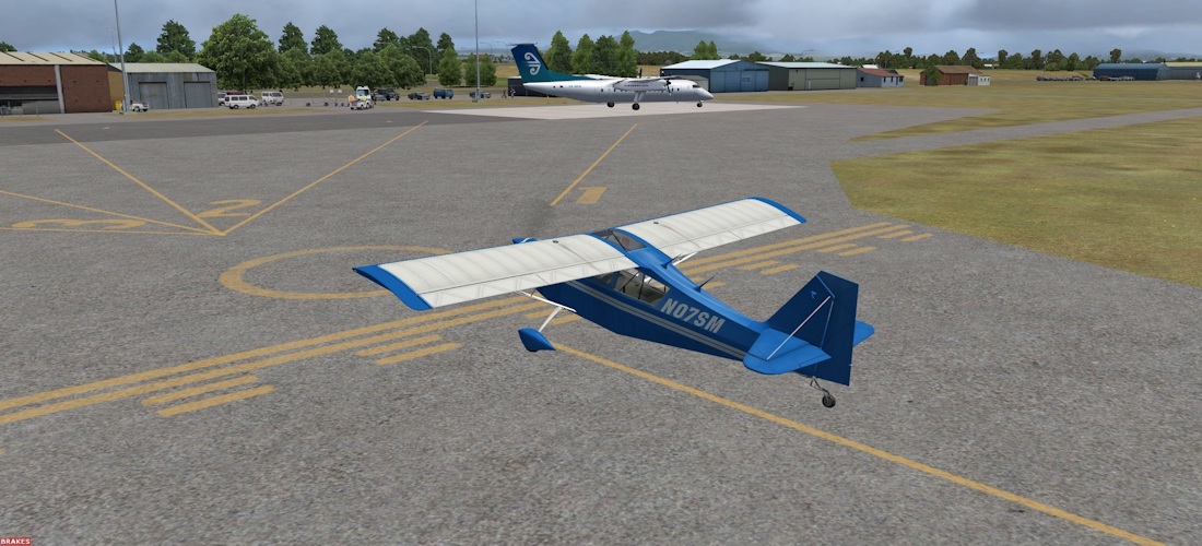
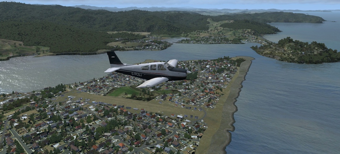
Rotorua to Auckland (NZRO – NZAA)
Assuming that stray 737s don’t conspire to knock us off the runway, we’re heading via a somewhat circuitous route to Auckland. First we’ll head up to the coast and the port town of Tauranga. (note that both Rotorua and Tauranga are on Orbx’s road map for2013 airport releases)
 |
 |
 |
 |
 |
|
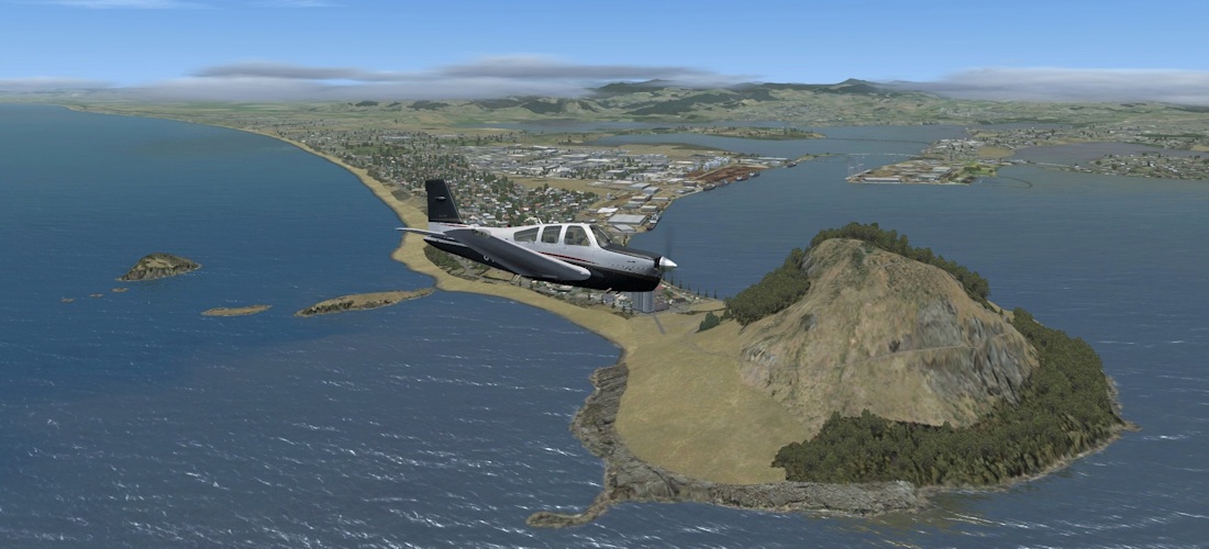
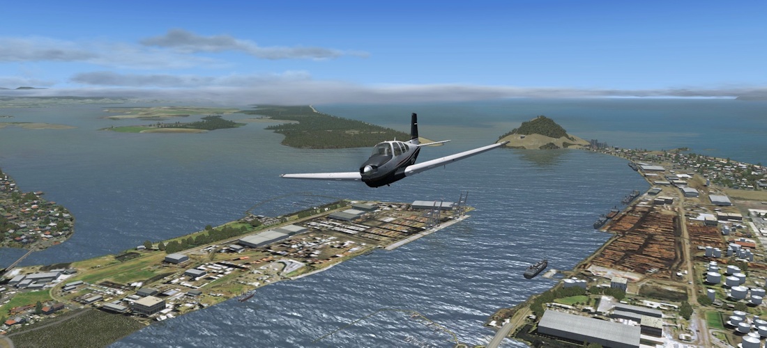
Tauranga is situated at the Western end of the Bay of Plenty. Mt Maunganui, an extinct volcano marks the entrance to the harbour and the end of Papamoa Beach (with some very nice fish restaurants). The port is the largest in New Zealand by tonnage shipped, and if there is a 737 due into the airport, the cranes all have to be lowered due to its proximity!
 |
 |
 |
 |
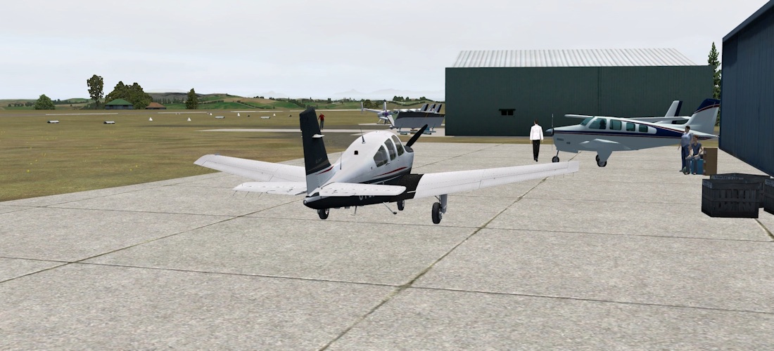
From Tauranga we head inland to the horse country of the Waikato. Matamata is a small town with a rural airfield and a few dozen hobbit holes. The hobbit holes don’t actually appear in the Orbx scenery, although I’m orbiting their location in picture 1.
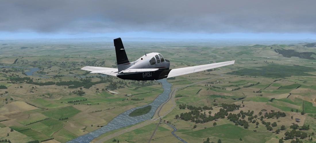
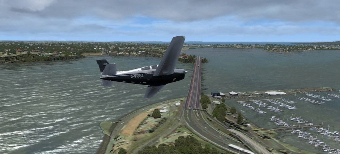
Soon after, we pick up SH1 once more, which has now become a motorway. Strictly speaking, since I’m flying GA, my destination here should be Ardmore, but I shall wave sweetly and fly straight past…
 |
 |
 |
|
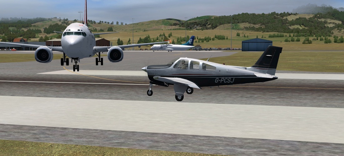
…because let’s face it, we all want to go into Auckland Intl, the biggest and busiest airport in the country!
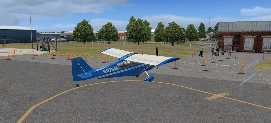
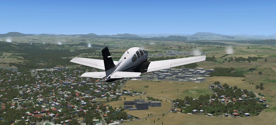
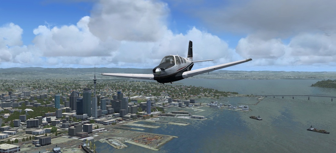
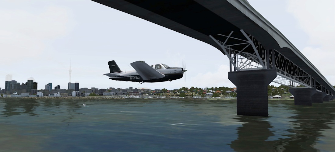
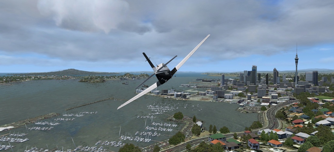
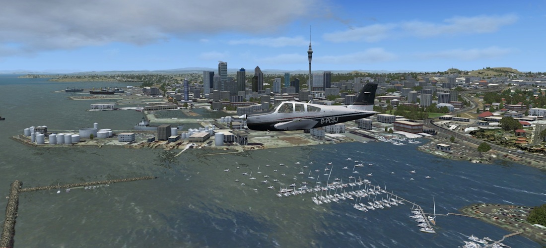
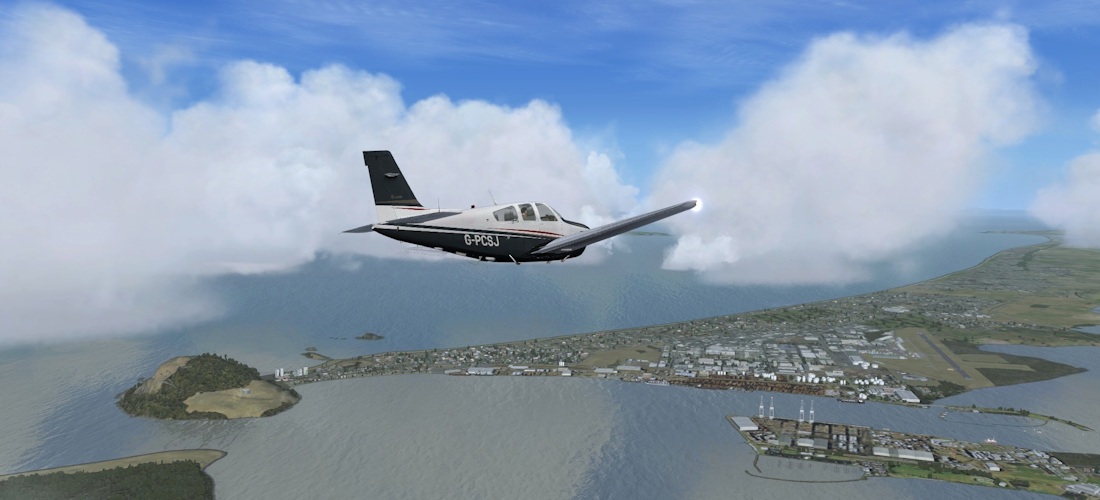
Auckland
Although it’s not the capital, Auckland is New Zealand’s biggest city. As with Wellington, much of the CBD has been modelled, including the Sky Tower (the tallest building in the Southern Hemisphere), the harbour and the bridge (and no flight would be complete without at least one pass under the bridge!).
 |
 |
 |
 |
 |
 |
 |
 |
 |
 |
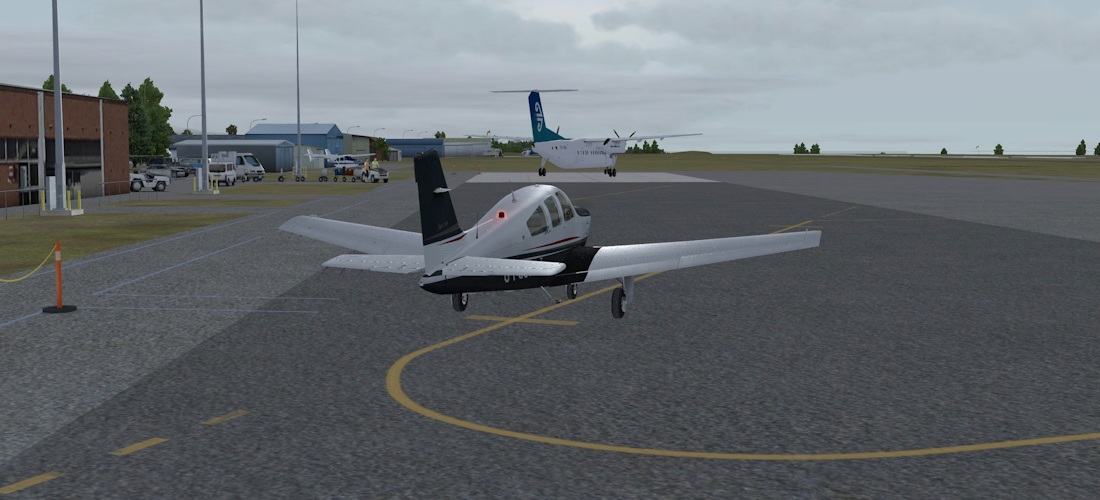
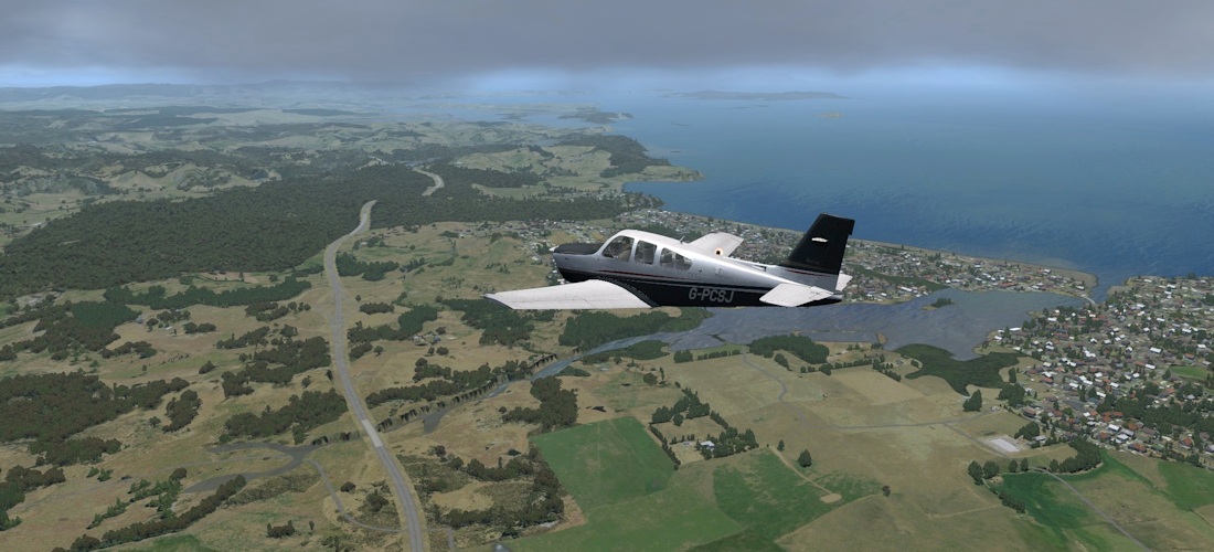
Auckland to Whangarei (NZAA – NZWR)
Whangerai (pronounced fong-a-ray) is the northernmost city in New Zealand. We’re still following State Highway 1 (by now you may have noticed a bit of a trend here!)
 |
 |
 |
 |
 |
 |
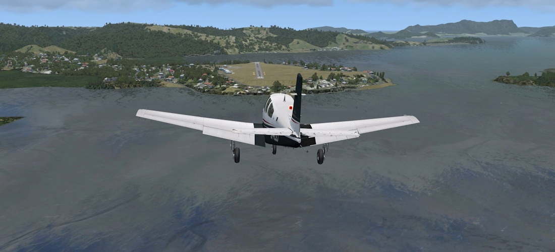
Whangarei to Kaitaia (NZWR – NZKT)
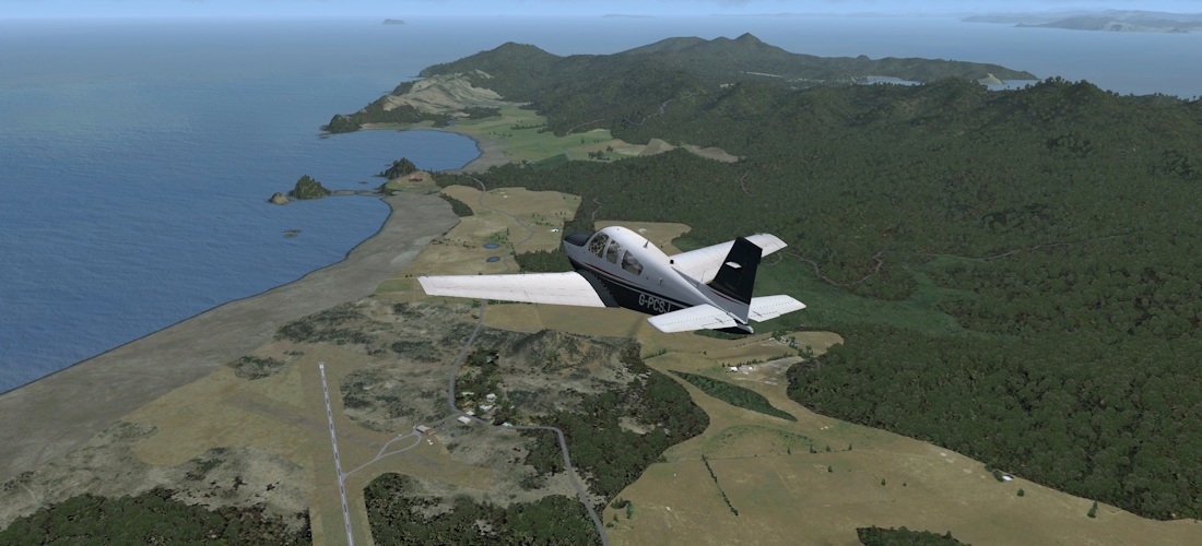
Today’s fun packed itinerary takes us to the fabulous Bay of Islands, then along 90 mile Beach to Cape Reinga, literally at the end of the road.
 |
 |
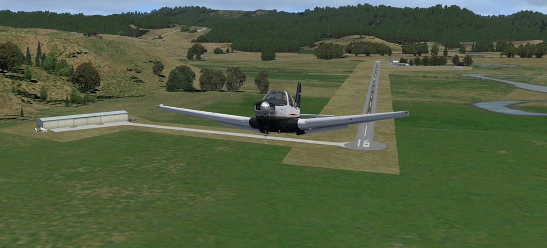
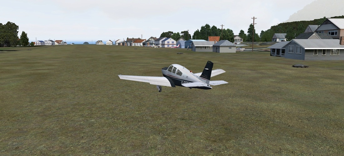
The original grass A-Frame runway layout can still be made out. The airfield started life as an RNZAF training base in WWII.
 |
 |
 |
 |
The Bay of Islands is my favourite part of the country to visit IRL. We can see the towns of Russell and Paihia, although the Waitangi Treaty Grounds have no detail. The nearby airfield at Kerikeri (next picture) is scheduled for a high detail addon later in the year, and the BoI should be enhanced further as part of that.
 |
 |
Kerikeri and Kaitaia airfields.
 |
 |
 |
 |
 |
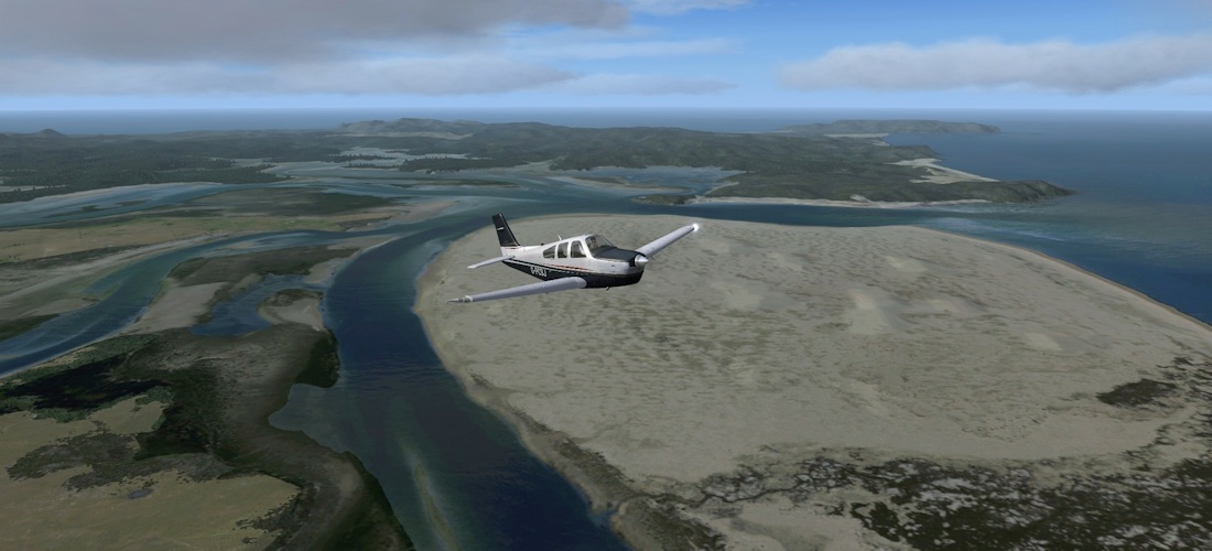 |
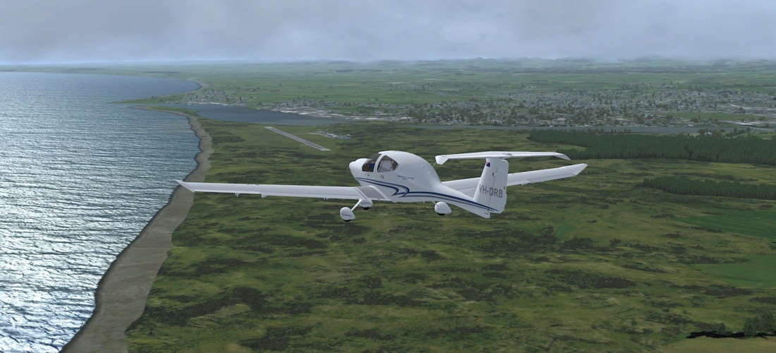
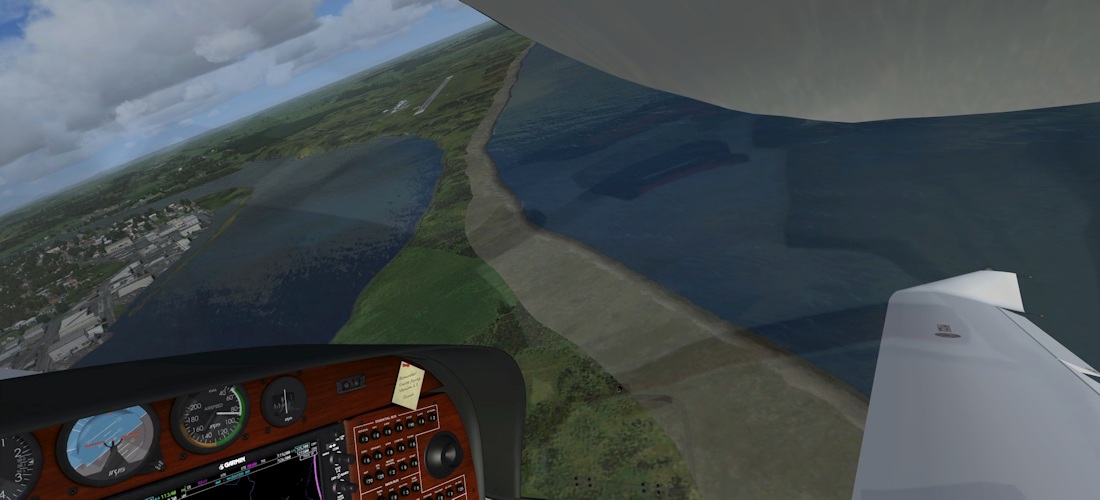
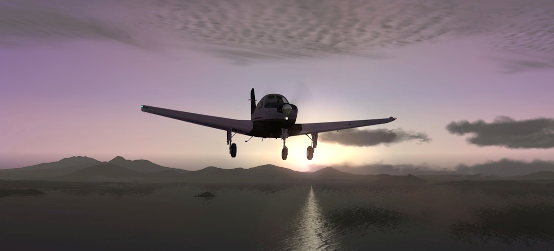
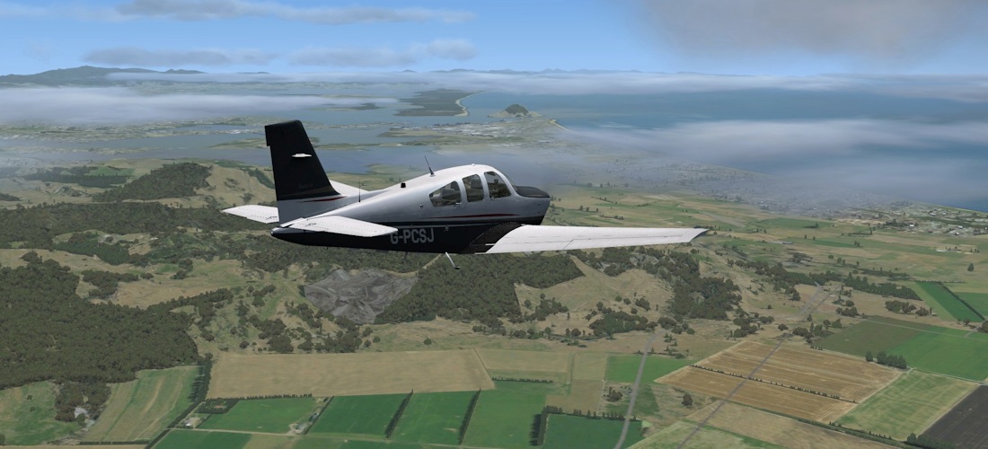
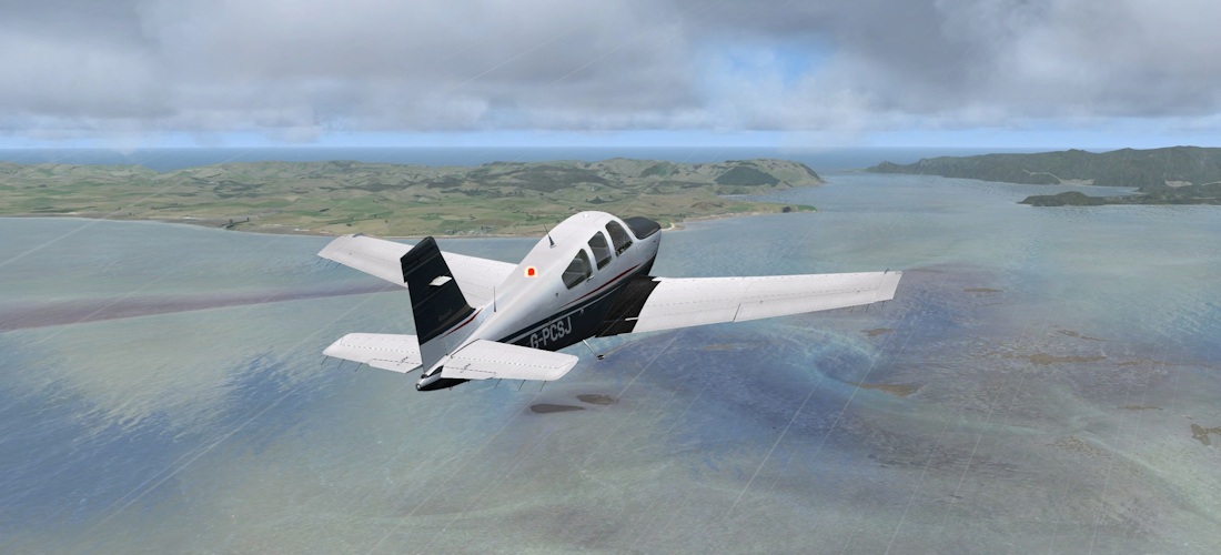
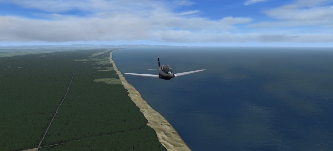
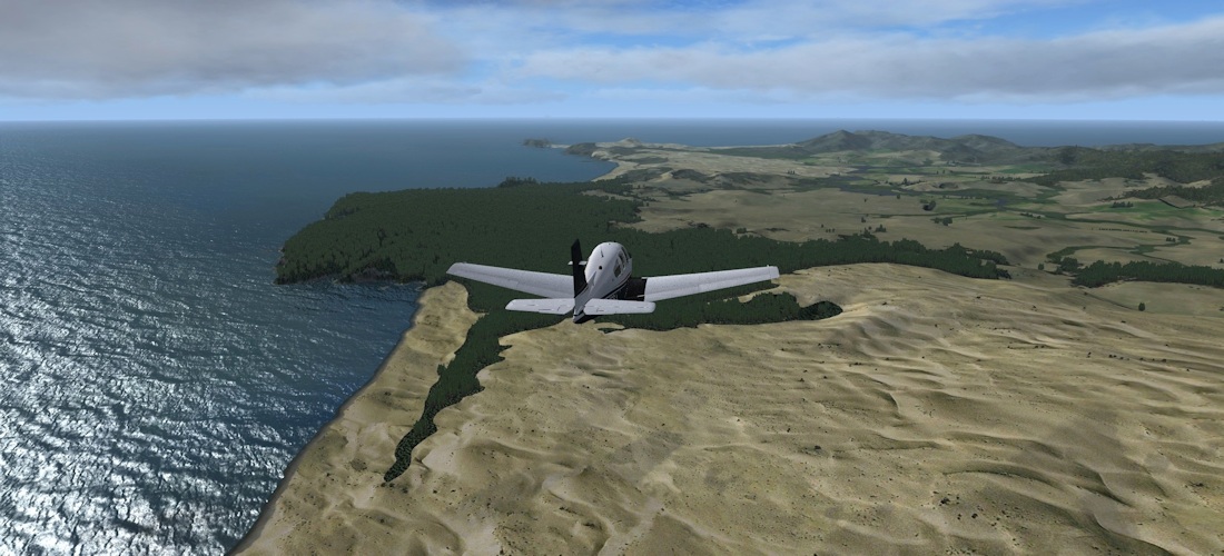
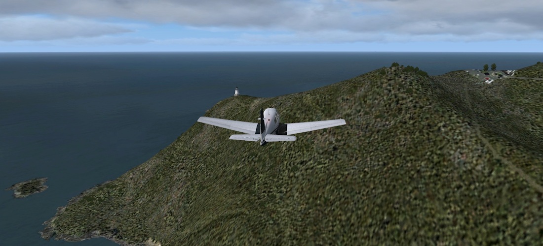
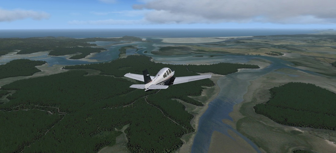
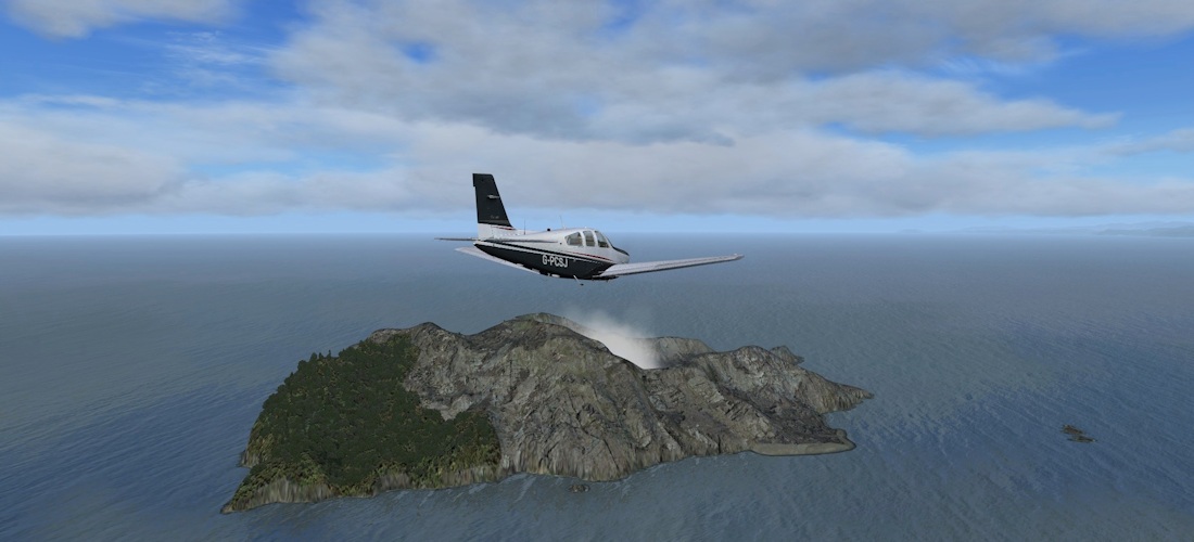
A low level pass along 90 Mile Beach (actually only 55 miles long). Dunes at the northern end are great for bodyboarding. Finally we reach the lighthouse at Cape Reinga, at the northernmost tip of New Zealand (you can see the end of SH1 at the right of the picture!). Turning to make our way back down the Eastern side of the Aupouri Peninsula, we cross Parengarenga Harbour, a natural harbour and sand bar which has been given photo and water mask treatment to stunning effect.
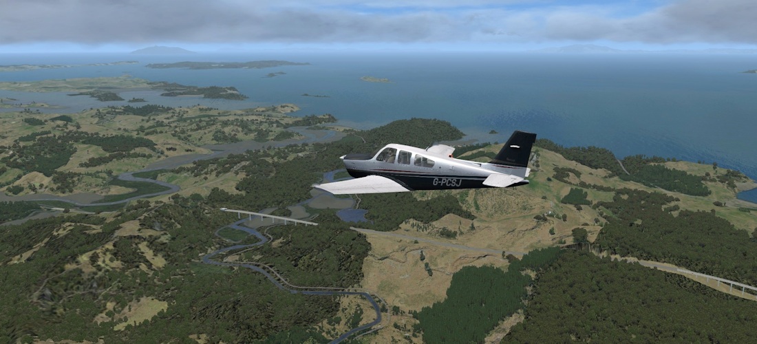
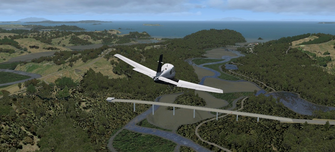
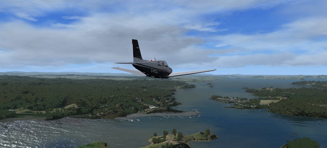
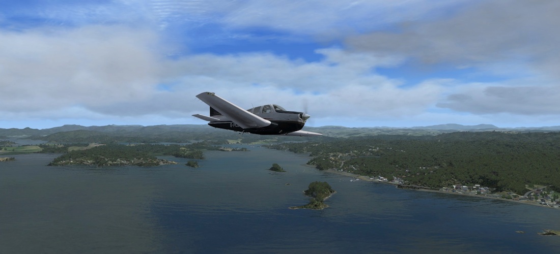
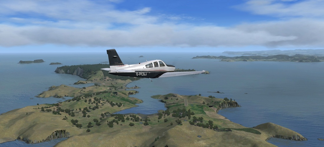
Springhill to Whakatane (NZSL – NZWK)
 |
 |
We’ve been relocated in the night, to Springfield, mid way between Auckland and Whangarei. We’ll head out to Great Barrier Island before making our way down the Coromandel Peninsula and across the bay of Plenty.
 |
 |
 |
 |
 |
 |
 |
 |
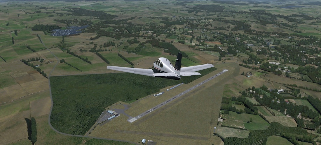
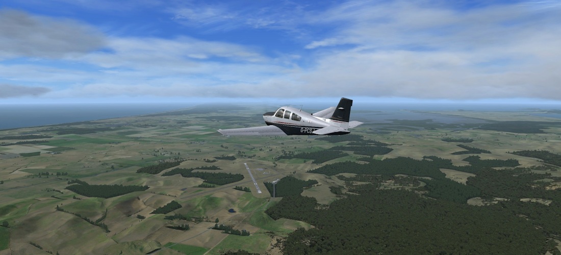
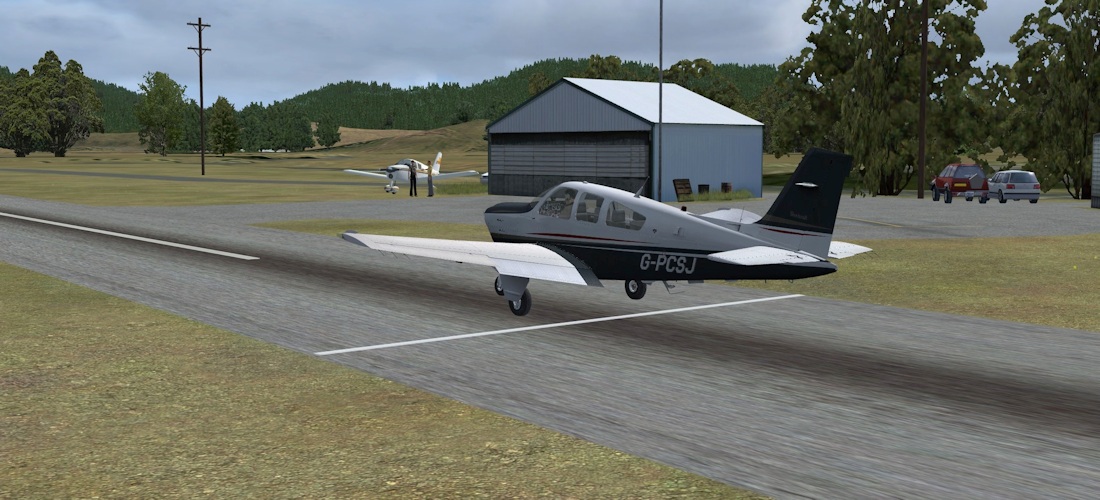
There are plenty of small airfields and residential air parks to visit. In this montage, we see Great Barrier, Matarangi, Coromandel, Pauanui Beach (the houses lining the runway have a car parked out the front and a plane parked out the back…) and Thames.
 |
 |
From Thames, we cross again to the Bay of Plenty, and pass Tauranga once again. Our destination though is White Island, an active volcano, some 30 miles out from the coast. This does not seem to have photo textures, which is a slight shame as there are freeware photo sceneries of it.
 |
 |
 |
|
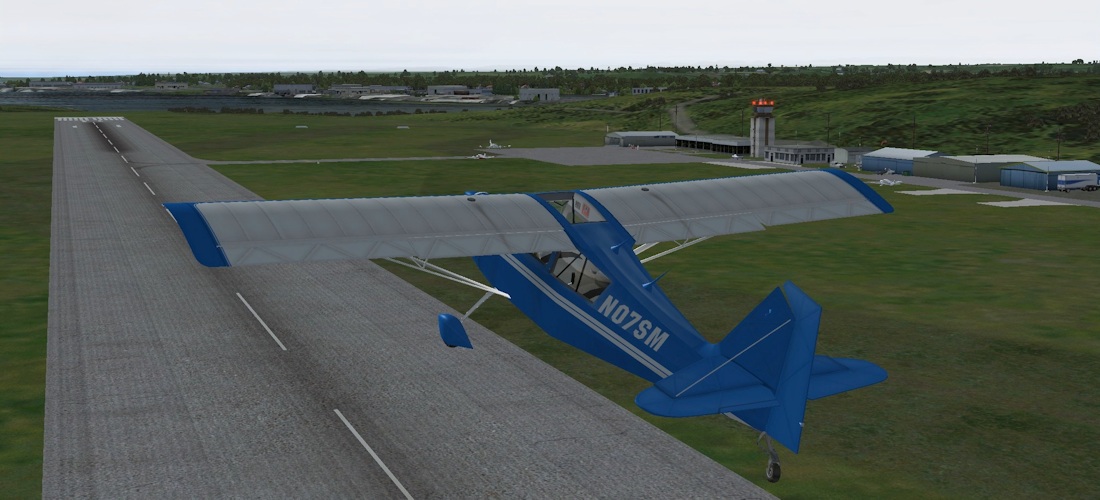
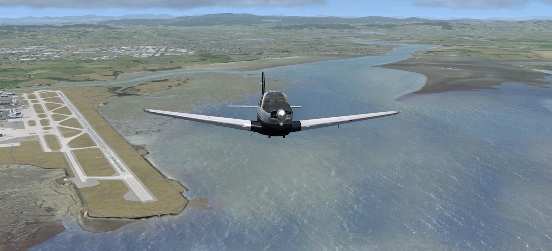
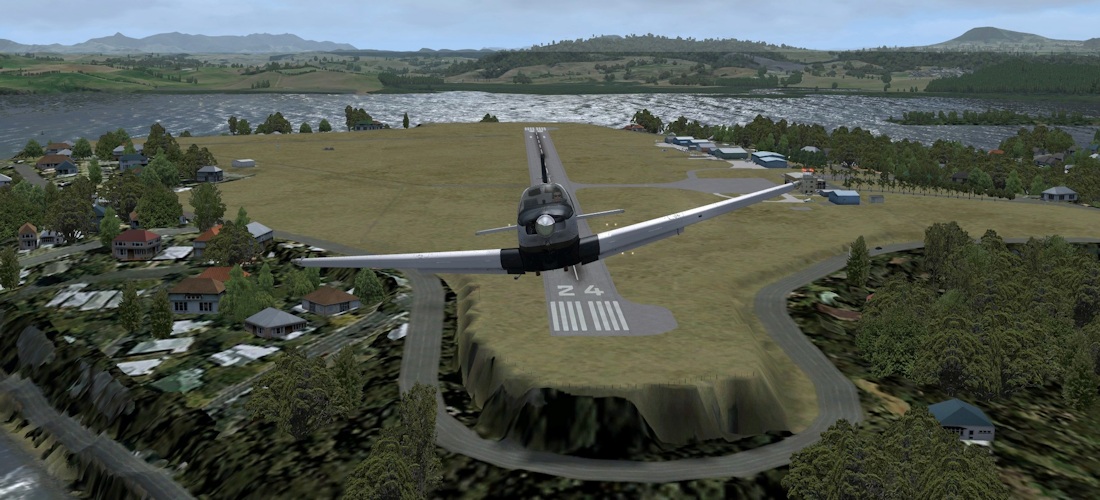
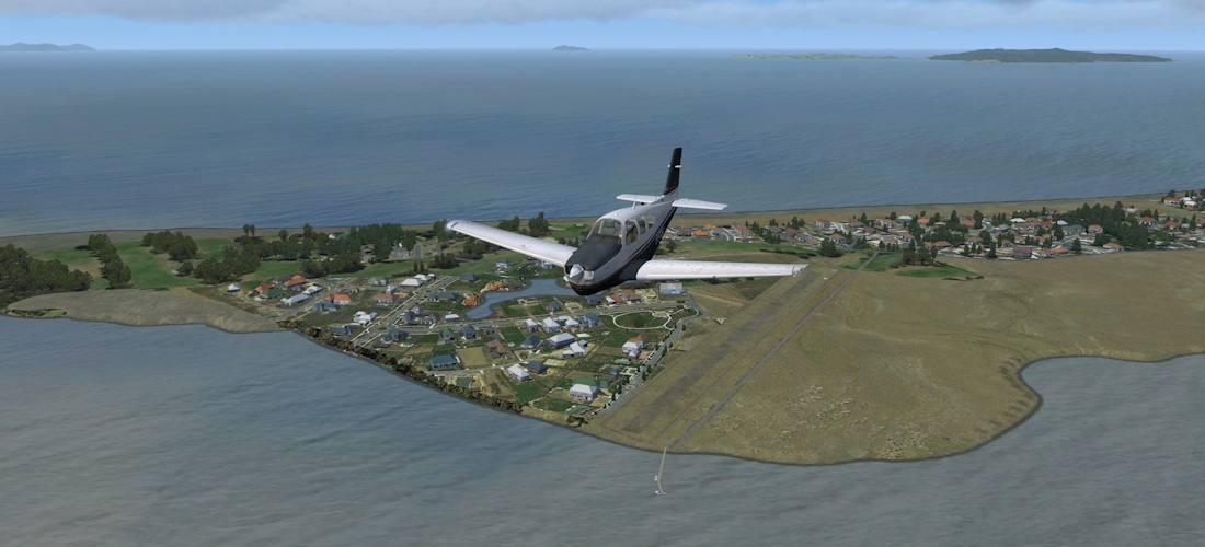
Heading back to the mainland, we get a good view of Whakatane harbour (pronounced faka-tah-nee), which sets us up nicely for the approach into the airfield. All that remains to do is fill out the logs and hand over the keys…
Verdict
NZNI is a well-rounded regional scenery pack that covers the North Island of New Zealand. It integrates tightly with a similar pack for the South Island, and also packs for Australia. It is aimed primarily at VFR pilots, the “low and slow” brigade, if you like, but “big tin” pilots will also enjoy the airports and the scenery on approach and departure.
Back when I reviewed NZSI, I was convinced it was the best region scenery that Orbx had produced. The question in my mind when I set off to fly into Wellington was, have they managed to maintain that standard? Well, absolutely they have. I have no hesitation in recommending this to owners of NZSI, and for people that have not flown in New Zealand, it’s a wonderful place to fly, so why not give it a try? When you’re done in the North Island, pick up the South Island too.
Flight plans - Includes Plan-G and FSX/P3D
files:
Download
![]()
Verdict
|
|
|
 |
|
• Level of detail: • Performance: • Scenery coverage: • Quality of buildings: • Documentation : • Value for money: |
10/10 10/10 10/10 10/10 10/10 10/10 |
With an overall score of 10/10 we award NZNI, without hesitation, a Mutley's Hangar Award For Excellence!
Tim Arnot
Review machine Spec: Core i7-965 O/C to 3.8GHz |
6Gb Tri-Channel DDR3 Ram |GTX560 II 1GB into a TripleHead2Go @ 5040
x 1050 |
Windows 7
64bit